


I must admit that I overlooked a visit to Dun Dealgan Motte for far too long and on finally visiting it I have to say I was very much taken with the beauty of this unique site. This motte was probably built in the late 11th century by Bertram de Verdun however it is believed to have been built upon on an earlier site named ‘Dún Dealga’, meaning ‘The Fort of Dealga’. The site is of importance in Irish mythology as the birthplace of Cúchulainn. It is also mentioned in the Irish Epic, ‘Táin Bó Cuailgne’ as the place from where the boy warrior Cúchulainn bases himself while attacking the forces of Queen Maeve. Prior to the 11th century the site was referred to as Delga, it was only after a mention in the Annals of Ulster (1002AD) that the prefix ‘Dún’ was added, this would suggest that a ringfort had been built on top of the earthwork. There is a school of thought that the name ‘Dun Dealga’ was perhaps a reference to a Firbolg chieftain named Dealga.
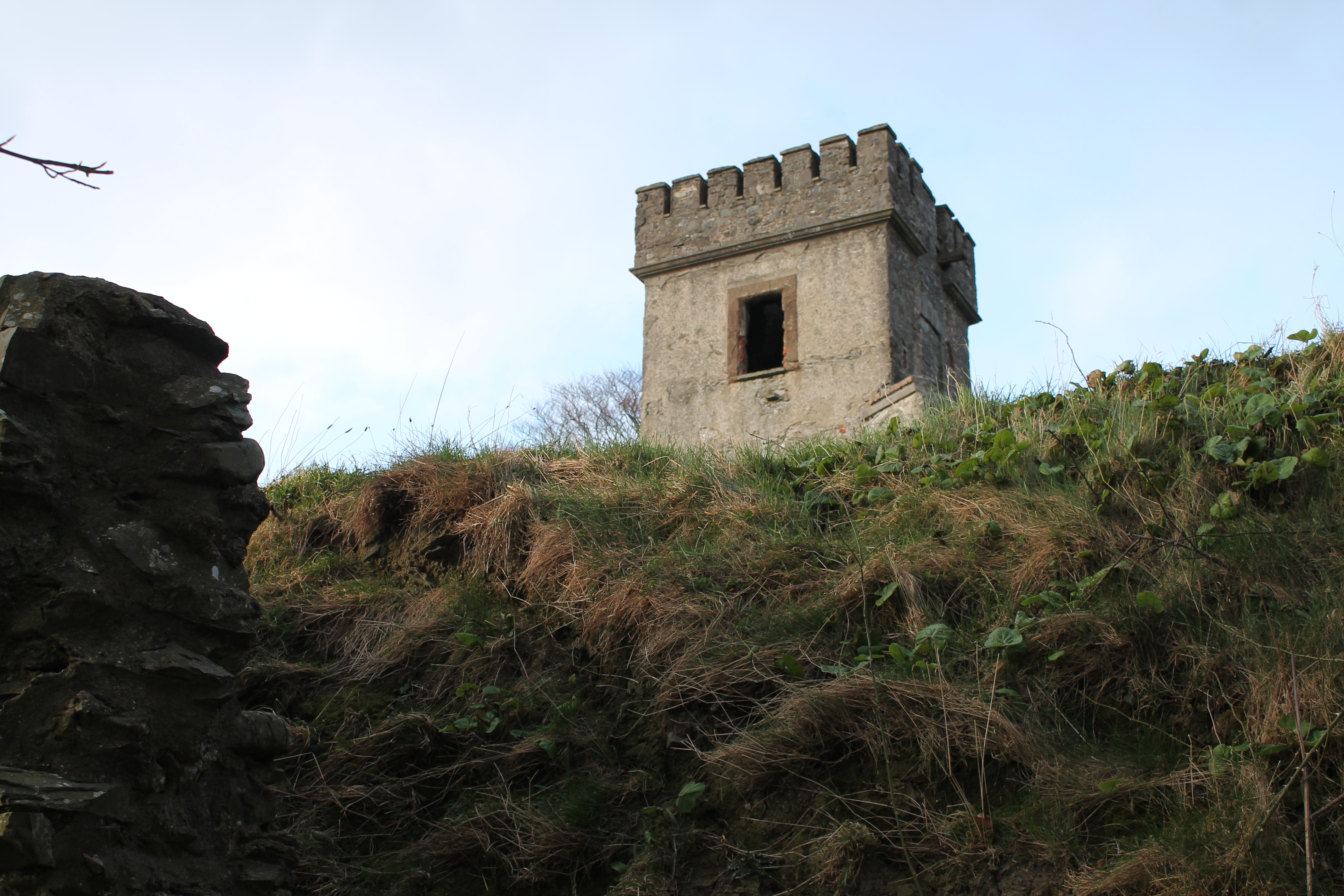
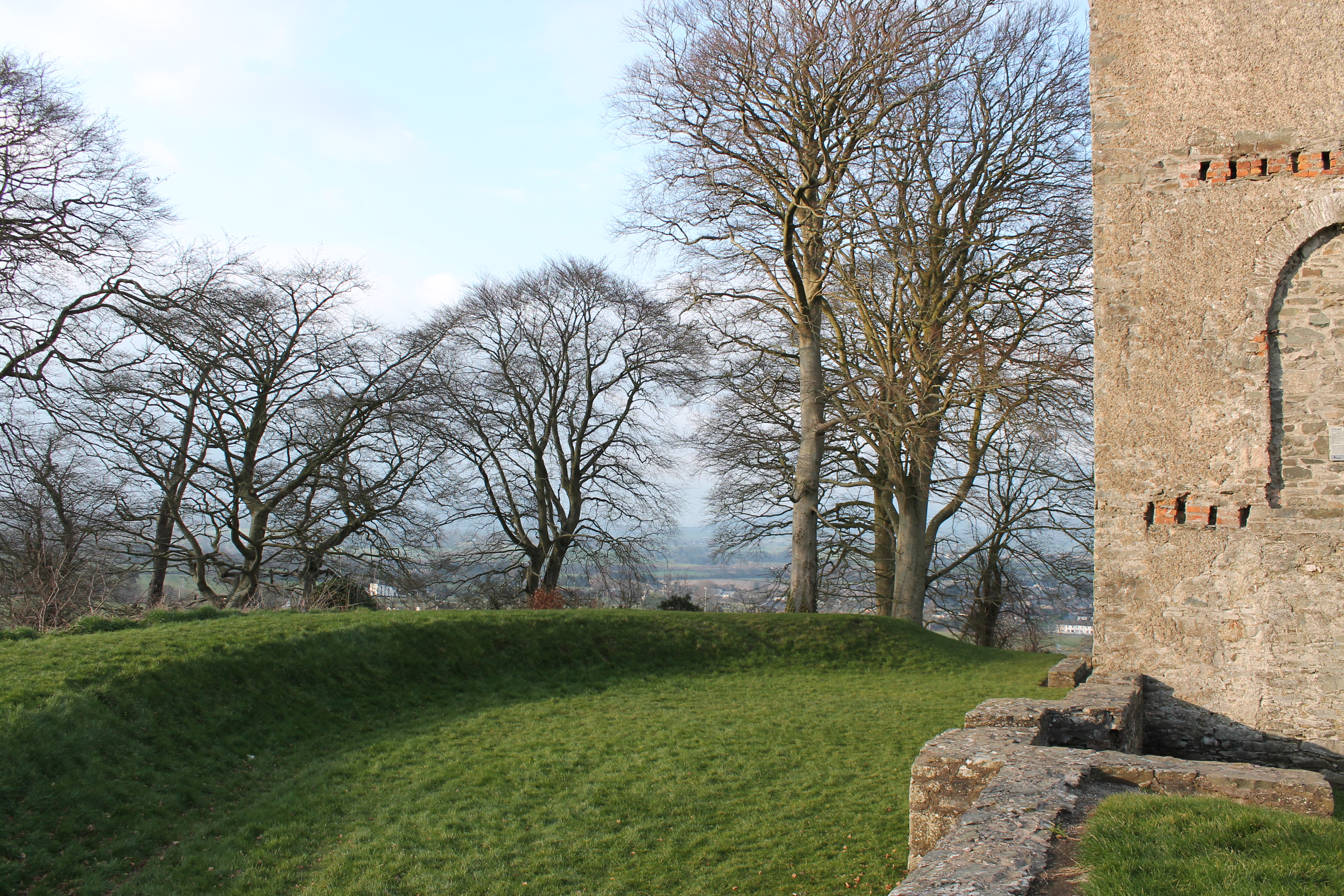
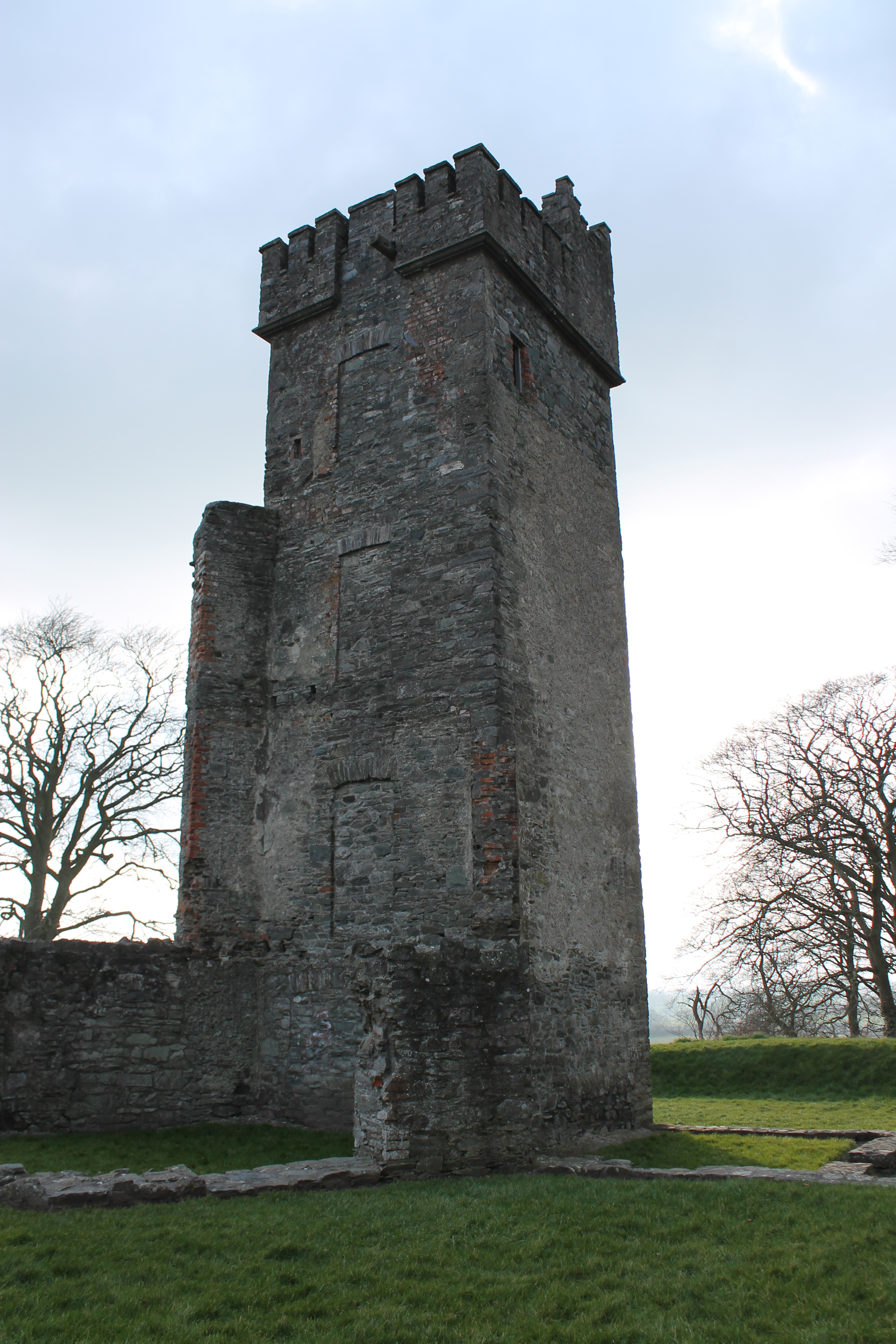
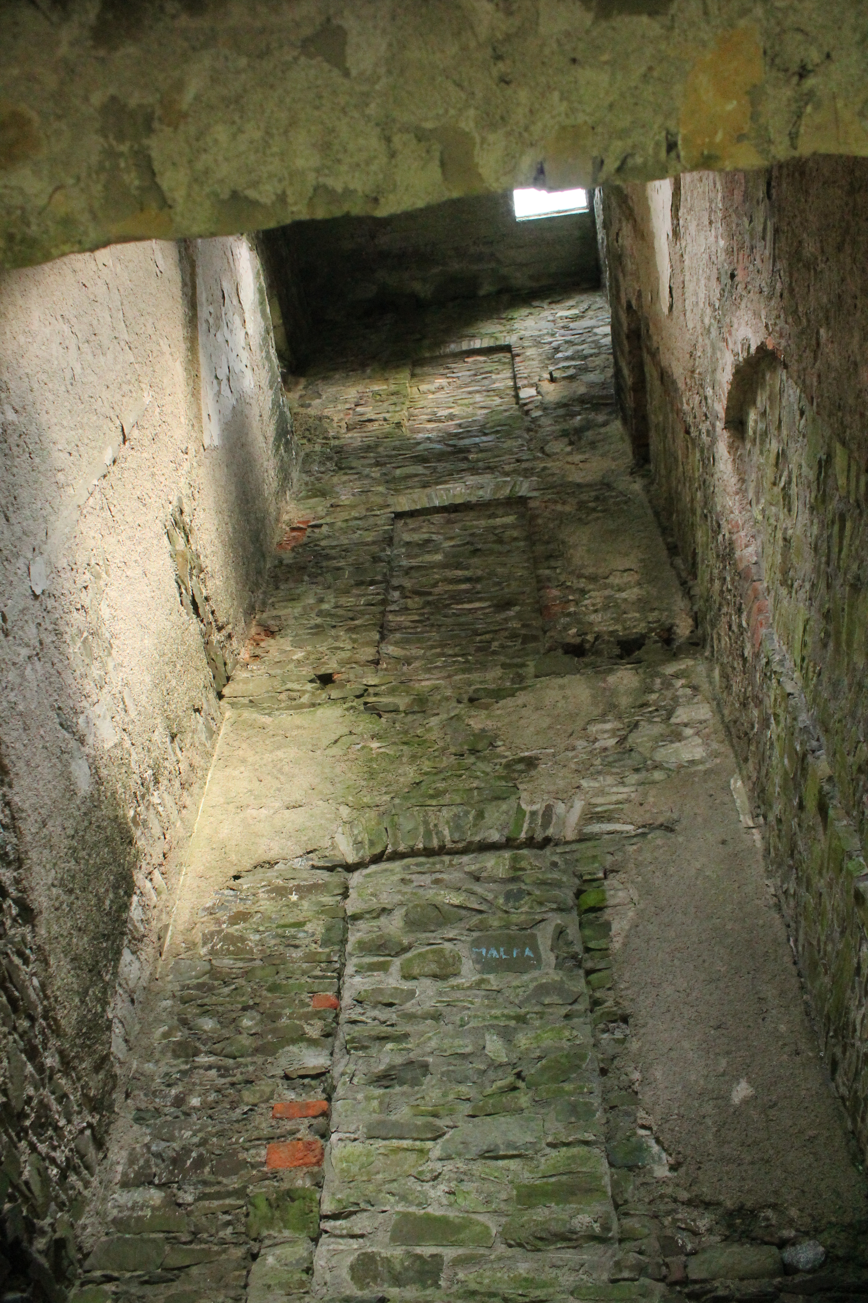
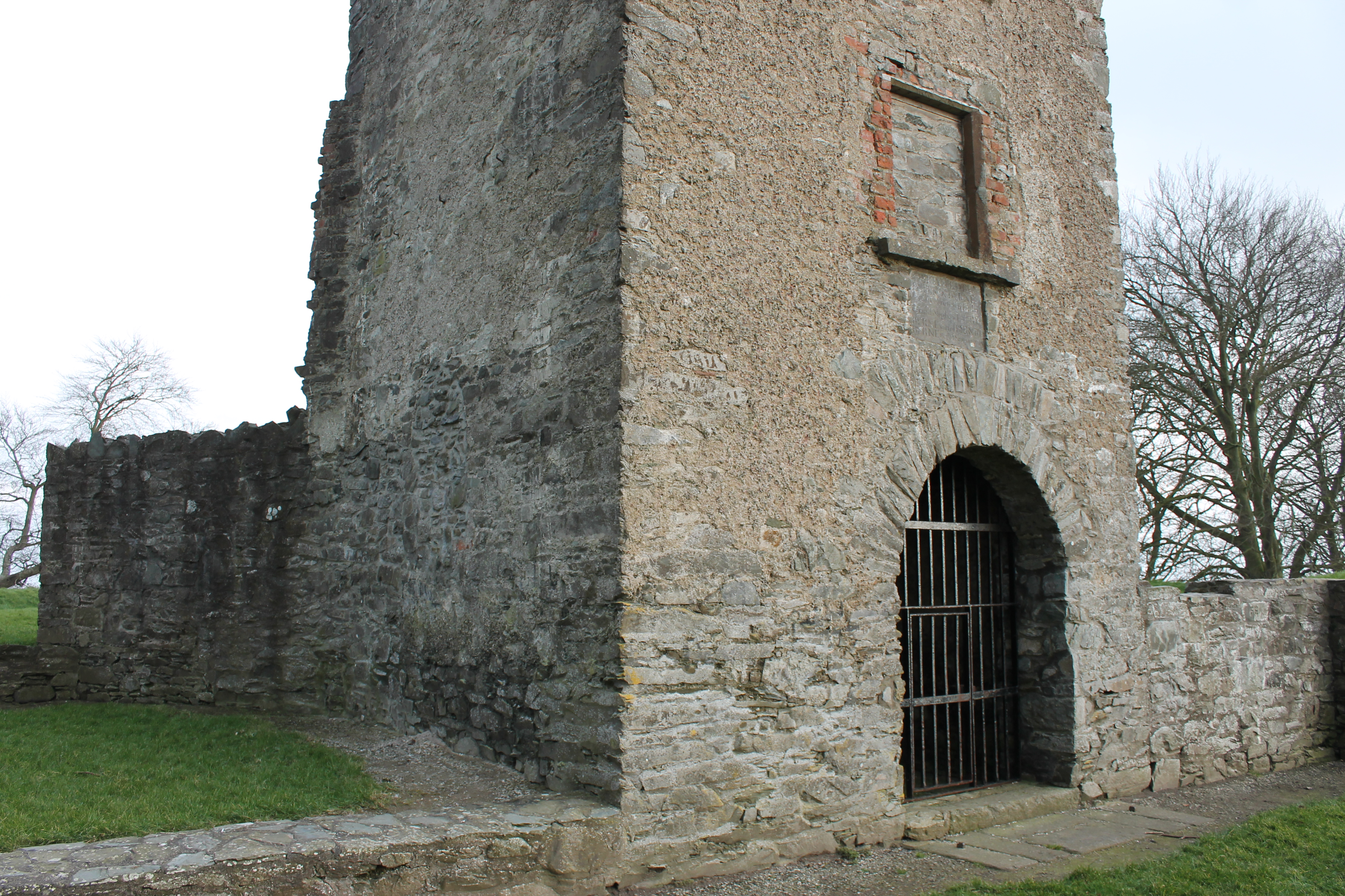
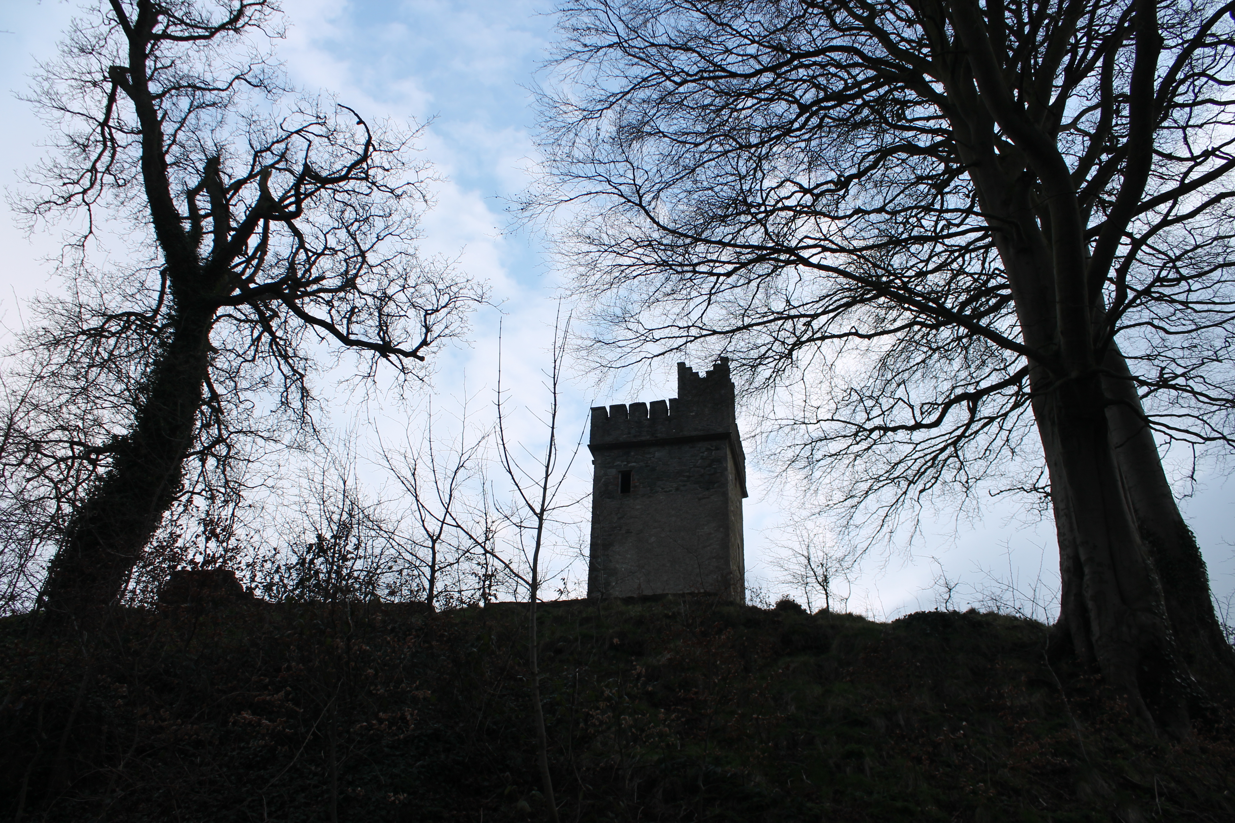
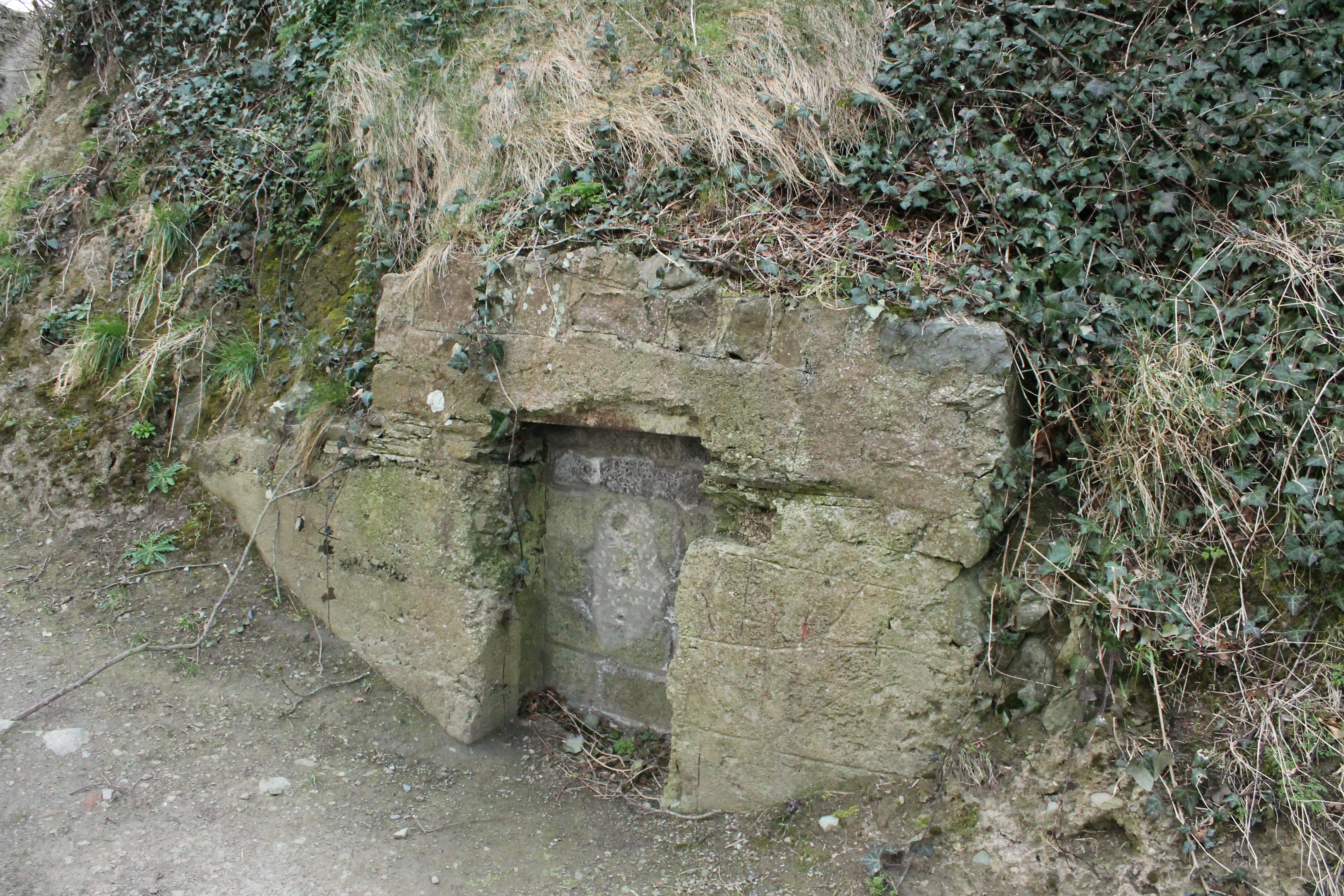
The Norman invasion into Ireland saw many military outposts being built upon these sites and when you reach its summit and survey the surrounding countryside it is obvious why de Verdun used this strategic point to keep the locals at bay. The Norman tower that would have stood at the site is no longer visible however a castellated tower named ‘Byrnes Folly’ gives us some impression of how the site may have looked during Norman times. In 1780 a local man named Patrick Byrne who is referred to as a pirate, for he was known as smuggler of considerable wealth,began to erect a gothic house on top of the mound. The house was destroyed within twenty years, during the violent days of the 1798 rebellion and reduced to the ‘Folly’. The house was rebuilt in 1850 by T.Vesey Dawson as a country retreat but fell into disrepair and was purchased by the Count Louth Archaeological and Historical Society to be used to house a museum however a fire during the War of Independence in 1921 and further damage during the Civil War meant these plans were abandoned. A pre-Norman souterrain is set into the motte about halfway up and measured 17 metres in length but sadly this is now not accessible.
GPS: 54.01383, -6.43016