
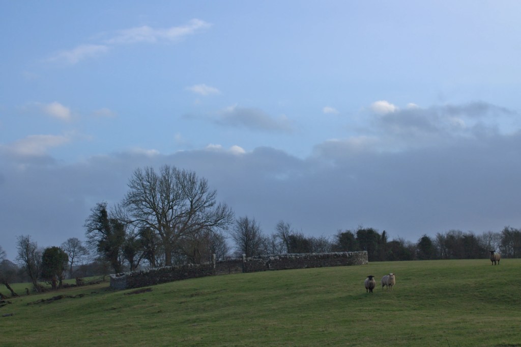
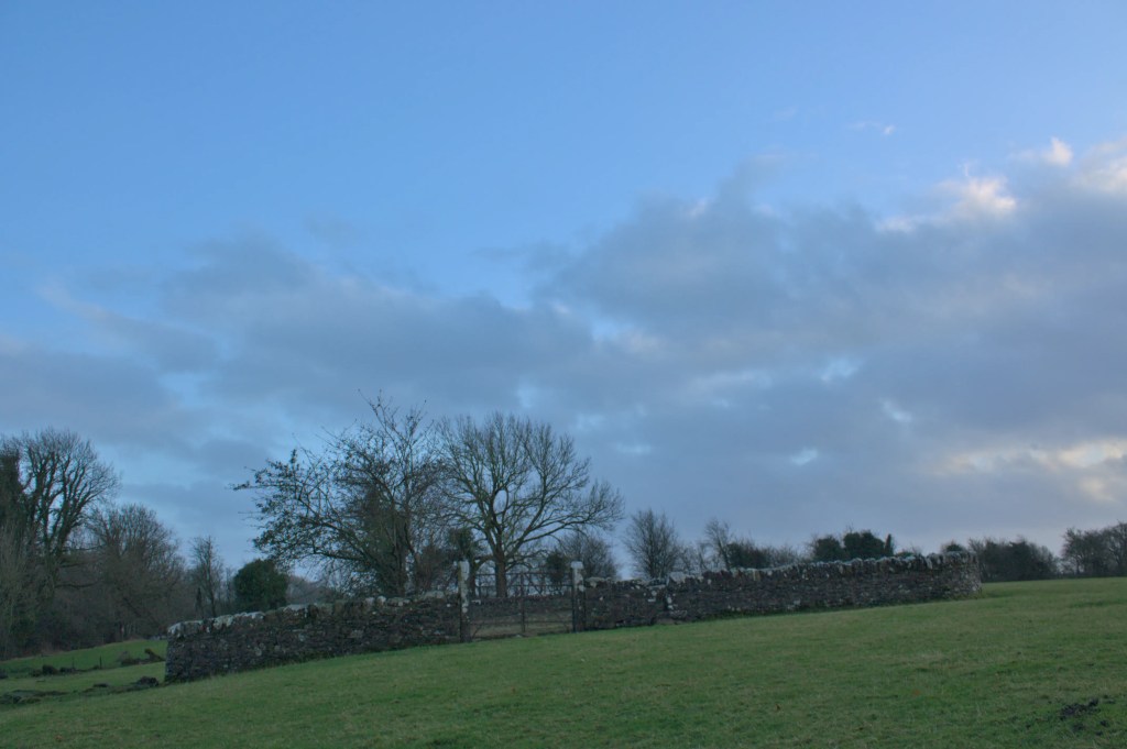
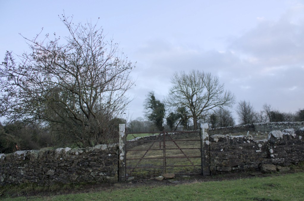
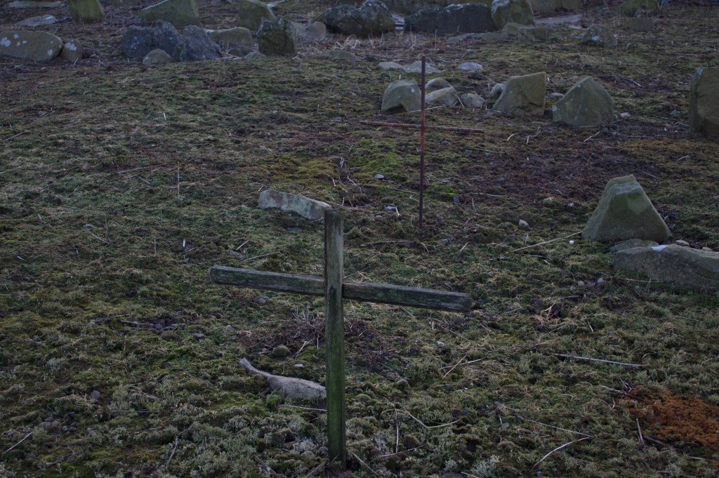
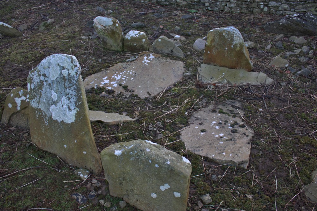
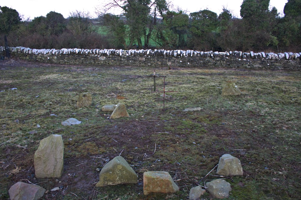
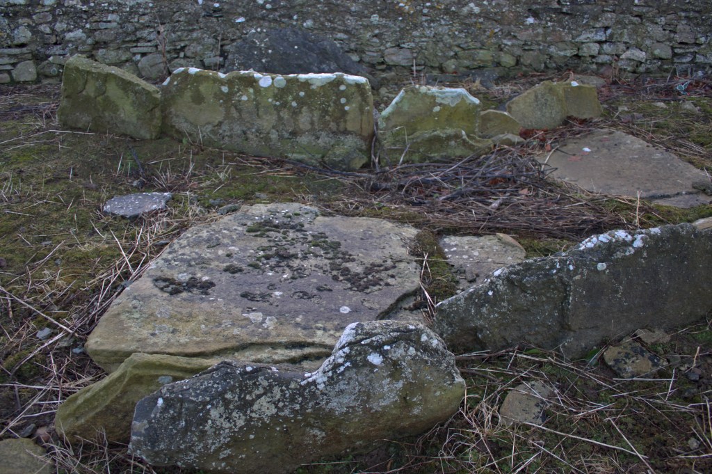
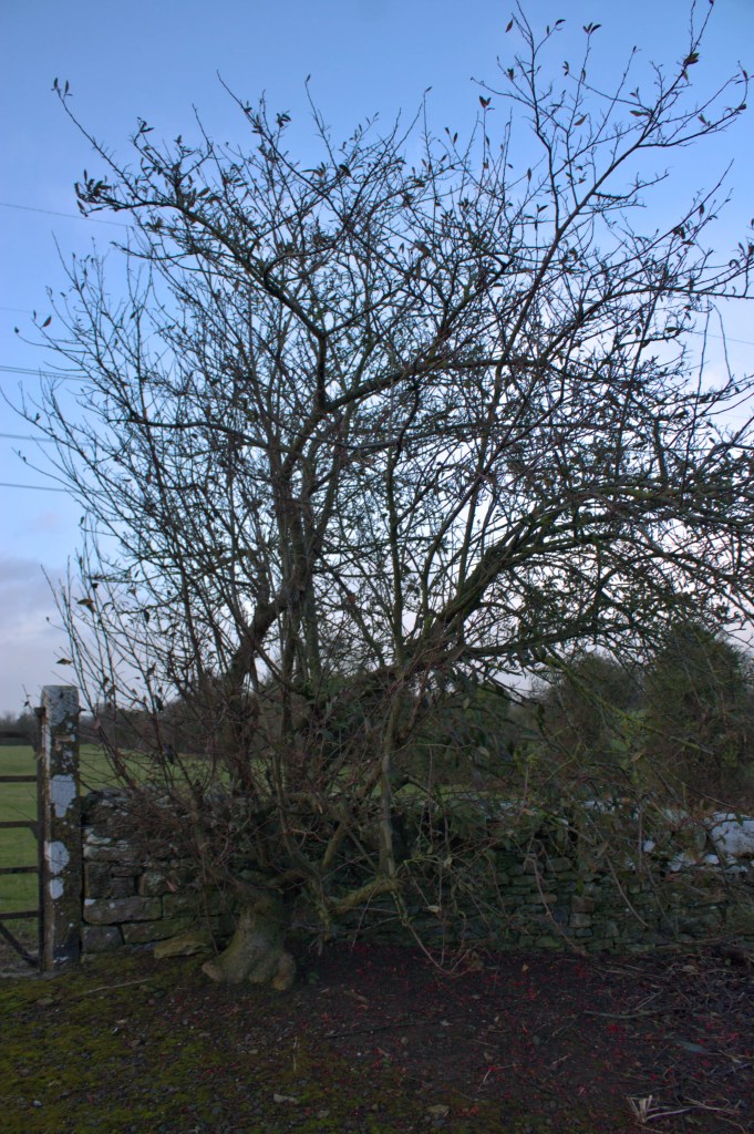
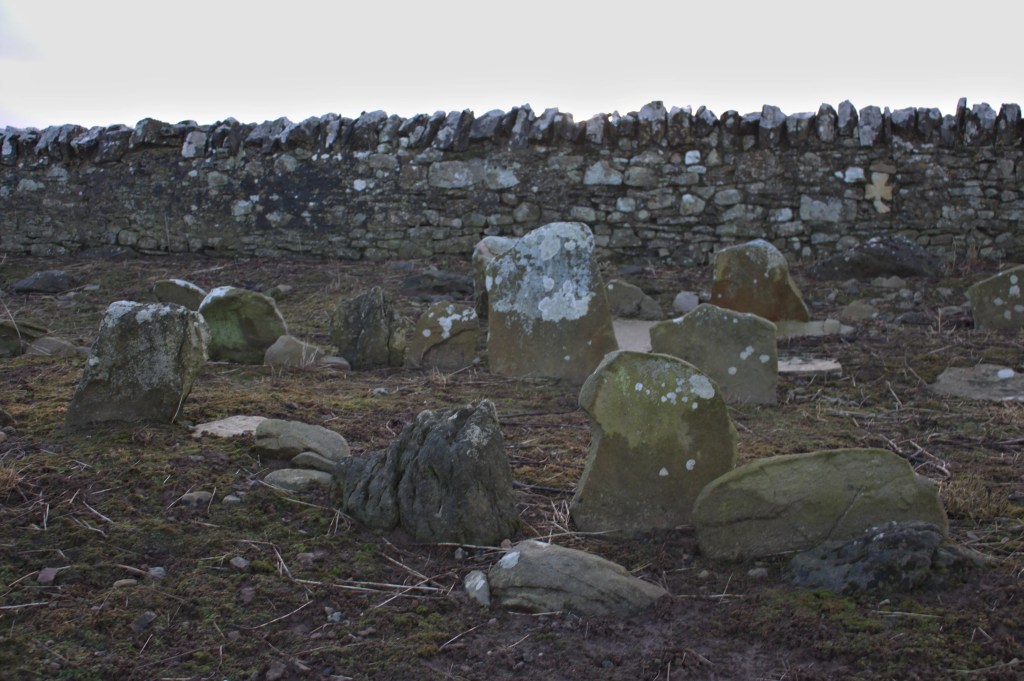
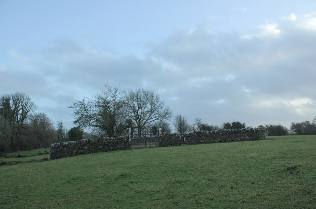
Clooneen Cemetery is one of those more unusual sites where there may not be as much to see as at many others but the air that surrounds it is captivating and draws you in. This burial ground has as many names as it has headstones that are illegible. Its name derives from the Irish ‘Cluainín’, meaning little meadow, and indeed where it stands is beautiful undulating pastureland. It is also known as Clomeen, Clonmeen, Garyduff and St Kierans but I have stuck with the name Clooneen that seems to be the standard for the National Monument Service and indeed the roadside sign that points in the direction of this forgotten place. A small gated dirt path leads down to an area where there is just about enough room for a car to park or turn. Then one must traverse a narrow stile crossing a small stream and immediately to your left you see the stone walls that surround this peaceful place. The walls are built on a slope and it can seem somewhat disconcerting but the simple field gate at its centre assures you that your eyes are not deceiving you.
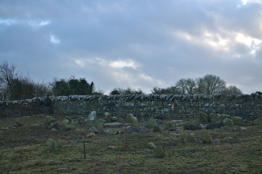
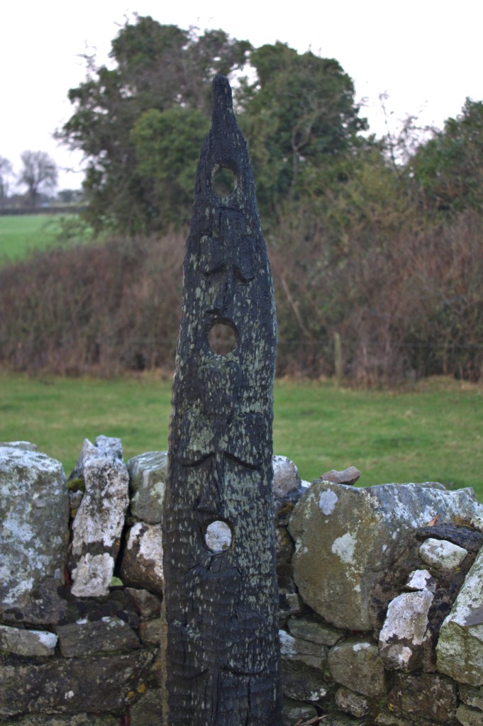
A medieval church probably dedicated to St Kieran, as many are in Laois, was believed to have stood here in the distant past however there are no visible surface remains. At the time of my visit I was unaware that there is evidence of a bullaun stone to the north east of the graveyard so I cannot attest to it still being there or visible. The beautifully constructed wall that surrounds the cemetery was built by the Board of Guardians. The Board of Guardians were a body established in 1838 under the Poor Relief Act who managed the Poor Law Unions who would have overseen the construction and management of the local workhouses around Ireland. It was a time of unimaginable poverty and suffering where the construction of roads, walls, various monuments and follies were created as a way to create some sort of employment to keep the poor from starving to death. The majority of headstones visible are little more than bare markers, some wooden crosses and stones that reach little more than fifteen centimetres above ground. I have found no list of burials or any information on who rests here. I read on the National Monuments Website that there is what is described as a ‘holy water stone’ on the north side of the stream, which is, “nothing more than a bowl shaped hollow, 14 in. in diameter and 6 in. deep, cut into the extremely rough surface of a bluish limestone rock several feet long and 2ft. Wide”, and I shall endeavour to return to this special place to find this holy water stone. It must be said for a place of little visible remains it is a striking and deeply resonant place that is very well maintained by those who care for it.
GPS: 52.88591, -7.70377